

FAQs
Answers to common questions about Sentinel drone services, thermal search, rural property support, mapping, wildlife applications, and game recovery.
General information about Sentinel operations, FAA compliance, service coverage, availability, and specialized mission requests.
-
Sentinel Wildlife Recovery & Rural Drone Services provides professional drone support for animal-location needs, rural property mapping, boundary visualization, landowner support, hunting property intelligence, pre-mowing wildlife scans, livestock location, aerial documentation, inspections, and other specialized rural applications.
-
Yes. Thermal-equipped aircraft may be used for appropriate missions such as lost pet searches, livestock location, pre-mowing wildlife scans, and other applications where heat signatures can assist with detection.
-
Yes. Sentinel evaluates specialized rural and land-based drone requests on a case-by-case basis. Contact us with the property location and what you are trying to accomplish.
-
No. Every mission is subject to FAA requirements, airspace restrictions, weather, property access, equipment capability, safety considerations, applicable law, and pilot availability.
-
Commercial drone operations are conducted by FAA Part 107-certified remote pilots and are subject to applicable Remote ID, airspace, safety, and operating requirements.
-
Sentinel primarily serves Pennsylvania, Maryland, and West Virginia, with select assignments considered throughout surrounding Mid-Atlantic states depending on travel distance, mission type, applicable law, and pilot availability.
-
Response time depends on mission urgency, location, pilot availability, weather, airspace, travel distance, and equipment requirements. Time-sensitive searches should be requested as soon as possible.
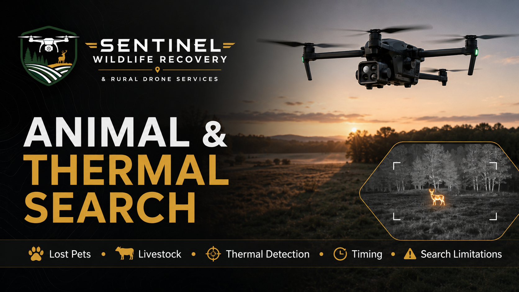
Thermal and visual drone-search information for missing pets, livestock, wildlife detection, and time-sensitive field operations.
-
No. Thermal imaging can significantly improve visibility under suitable conditions, but detection depends on vegetation, terrain, temperature contrast, weather, distance, animal movement, timing, and other field conditions. No detection, location, capture, or recovery outcome can be guaranteed.
-
Yes. Thermal and visual drone search may assist with locating missing dogs and other pets across fields, wooded edges, rural properties, and other suitable terrain.
-
Yes. Thermal and visual aerial searches may help locate cattle and other livestock across pastures, fields, wooded areas, and larger rural properties.
-
A pre-mowing wildlife scan uses aerial and, when appropriate, thermal imaging to help identify animals concealed in fields before mowing or cutting begins. The goal is to support responsible agricultural operations and reduce the risk of accidental wildlife injury.
-
Thermal search is generally most effective when there is strong temperature contrast between the target and surrounding environment. Early morning, nighttime, cooler weather, reduced solar heating, and limited vegetation can improve detection conditions.
-
Yes. Dense leaves, heavy brush, thick timber canopy, tall crops, structures, terrain, and other physical obstructions can block or reduce thermal visibility.
-
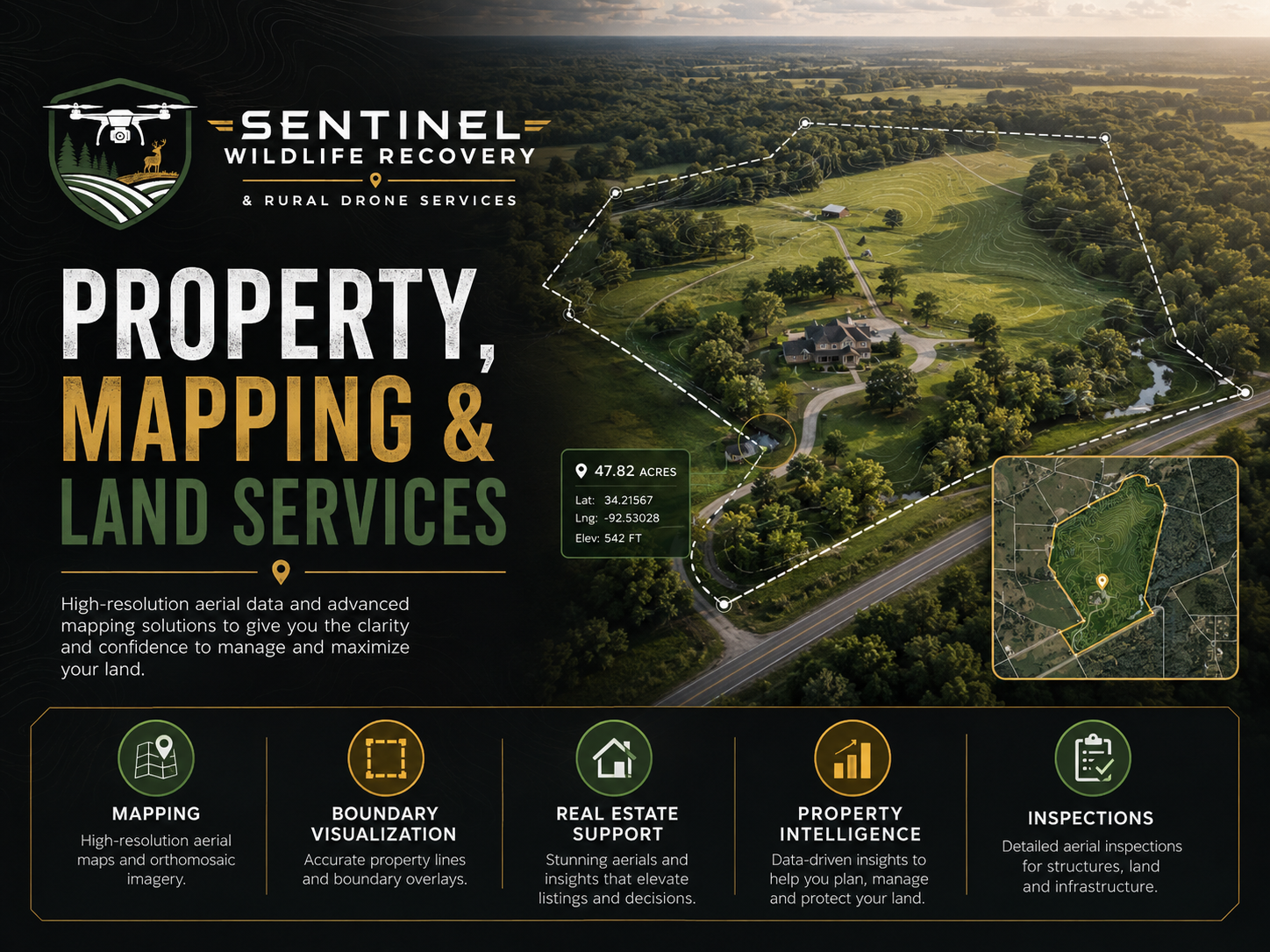
Yes, depending on acreage, terrain, airspace, access, and mission requirements. Rural Property Mapping may include aerial imagery, approximate property layouts, trails, roads, structures, fields, waterways, access points, and other important land features.
-
No. Sentinel boundary graphics are approximate visualizations intended to help clients understand property layout and features. They are not legal surveys and do not replace work performed by a licensed professional surveyor.
-
Yes. Drone imagery may be used to visually document roofs, barns, outbuildings, fencing, access roads, drainage areas, equipment, utilities, and other rural property features where safe and legally permissible.
-
Yes. Sentinel can provide aerial property documentation, approximate boundary visualization, mapping, access review, acreage documentation, and other rural property intelligence useful to real estate professionals, buyers, sellers, and landowners.
-
Hunting Property Intelligence is a property-focused aerial service designed to help hunters, hunting clubs, and rural landowners better understand and manage recreational acreage. Services may include access-route documentation, stand and blind mapping, food plot assessment, trail review, infrastructure documentation, storm-damage assessment, and seasonal property evaluations.
-
No. Hunting Property Intelligence focuses on the property itself—access, terrain, improvements, infrastructure, land features, and management considerations. Sentinel does not use drones to unlawfully locate, pursue, harass, or provide a hunting advantage over live wildlife.
Aerial property intelligence for landowners, real estate professionals, buyers, sellers, hunters, farms, and rural-property stakeholders.
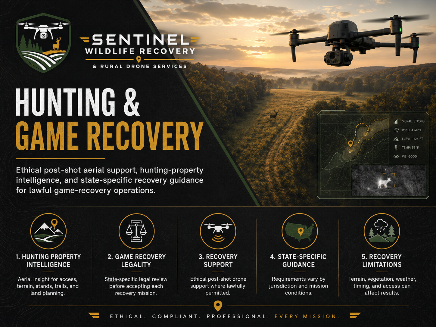
Information concerning hunting-property services, lawful post-shot recovery, state-specific regulations, and operational limitations.
* GAME RECOVERY IS OFFERED ONLY WHERE LEGALLY AUTHORIZED.
-
Yes—where permitted by applicable state law and wildlife regulations. Sentinel provides ethical post-shot drone-assisted recovery support for lawfully wounded or expired game. The service is strictly for recovery after a lawful shot and is not used to scout, pursue, harass, drive, herd, or locate live wildlife for a hunting advantage.
-
No. Sentinel does not currently provide drone-assisted game recovery in Pennsylvania. The service will only be offered if and when Pennsylvania law legally authorizes the operation.
-
Maryland's rules distinguish lawful recovery activity from the prohibited use of drones to locate, drive, or herd wildlife for hunting purposes. Because requirements can change, Sentinel reviews the current Maryland regulations before accepting each recovery mission.
-
West Virginia permits certain UAV-assisted tracking and location of mortally wounded game subject to applicable state requirements. Sentinel reviews licensing, operator requirements, property access, FAA compliance, and other mission conditions before accepting an assignment.
-
Potentially. Laws governing drones, hunting, wildlife location, and post-shot recovery vary substantially by jurisdiction. Sentinel may consider assignments in states such as Virginia, Ohio, New York, New Jersey, Delaware, and other surrounding areas only after determining that the specific operation is lawful.
-
Sentinel does not use drones to unlawfully locate, pursue, harass, drive, herd, or provide a hunting advantage over live wildlife. Any hunting-related mission must comply with the applicable wildlife laws of the state where the operation occurs.
-
No. Terrain, vegetation, temperature, elapsed time, animal movement, weather, property access, and other conditions can affect detection. Drone technology is a valuable recovery tool, but no recovery outcome can be guaranteed.
-
Sentinel reviews state wildlife law, FAA requirements, airspace, property access, pilot availability, equipment capability, weather, mission location, and operational conditions before accepting a recovery request.
Still Have Questions?
REQUEST DRONE SERVICES
Whether you need help locating an animal, documenting rural property, evaluating acreage, supporting agricultural operations, or addressing another specialized aerial need, Sentinel provides professional drone solutions built around real-world conditions.
Our FAA-compliant operations combine advanced aerial technology, thermal capability, rural field experience, and practical mission planning to help you obtain the information you need safely and efficiently.
Tell us what you’re trying to accomplish, and we’ll help determine the right aerial solution for your situation.