

HUNTING PROPERTY INTELLIGENCE
⦁
FUTURE DRONE ASSISTED GAME RECOVERY
⦁
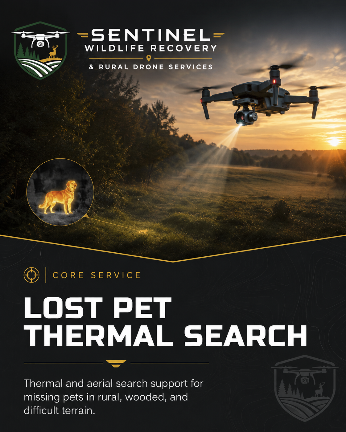
LOST PET THERMAL SEARCH
⦁
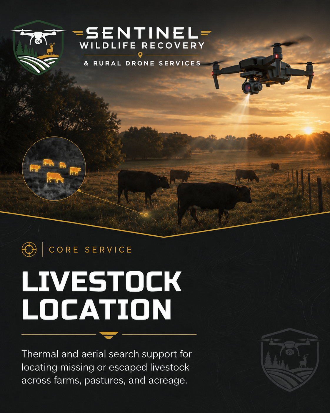
LIVESTOCK LOCATION
⦁
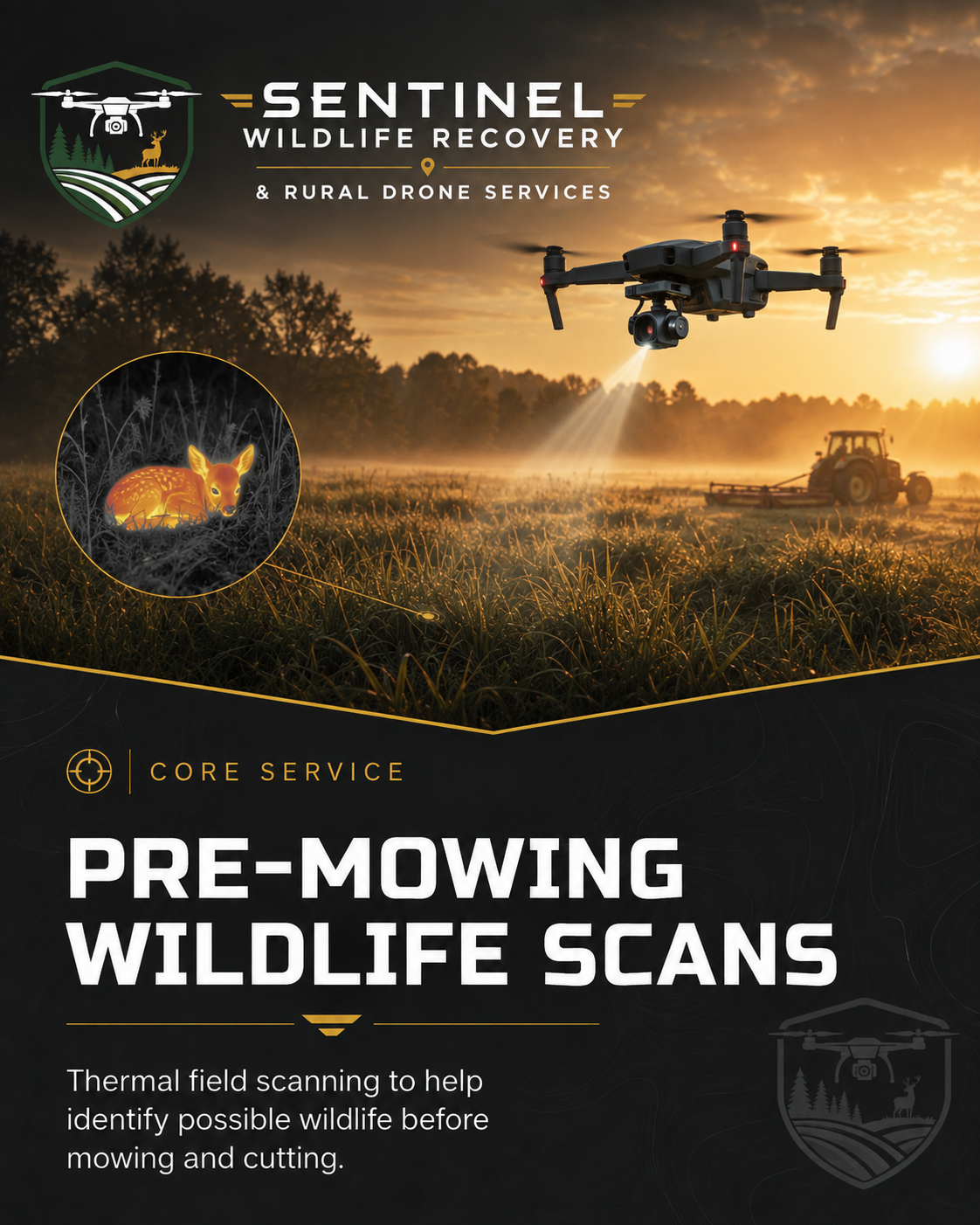
PRE-MOWING WILDLIFE SCANS
⦁
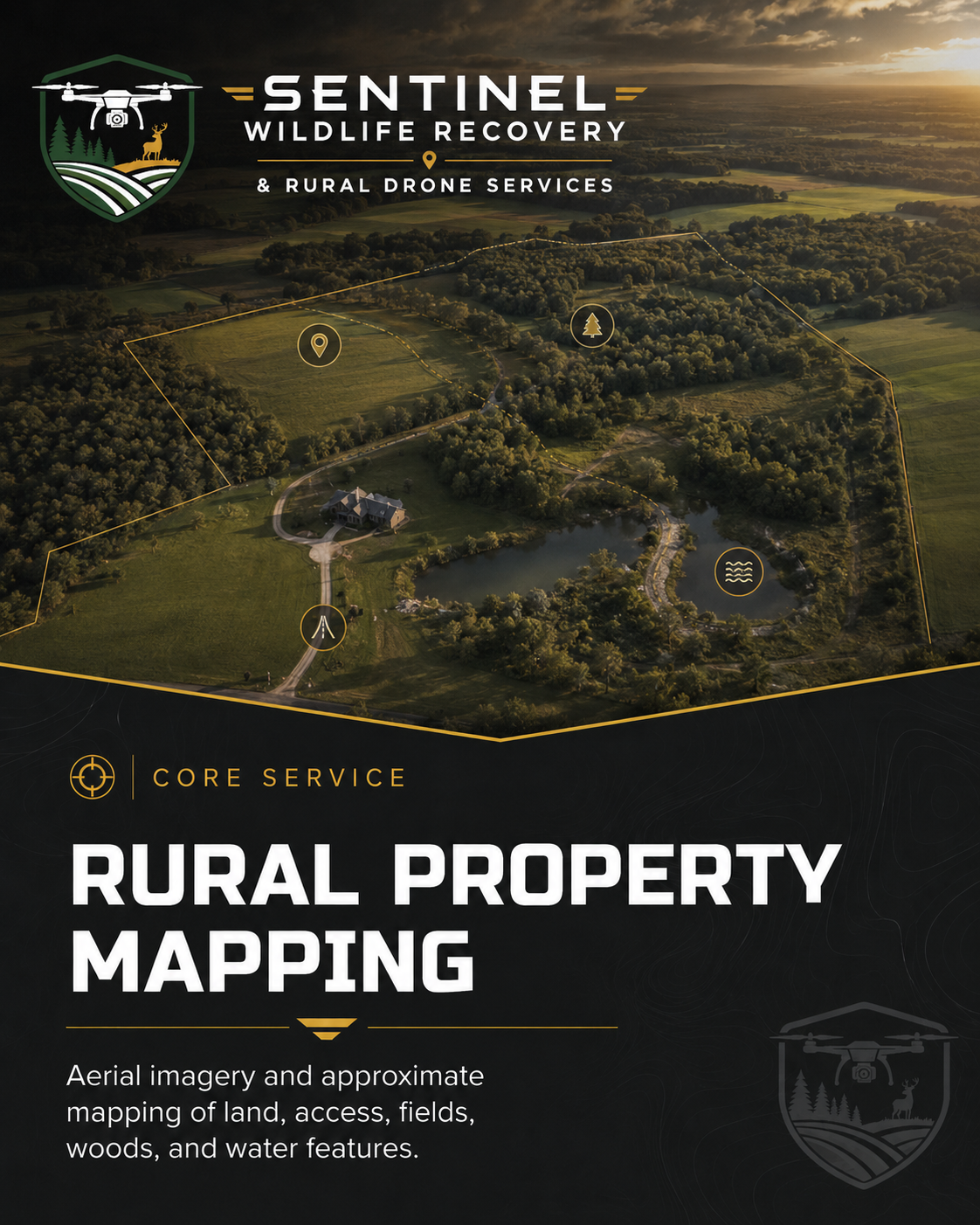
RURAL PROPERTY MAPPING
⦁
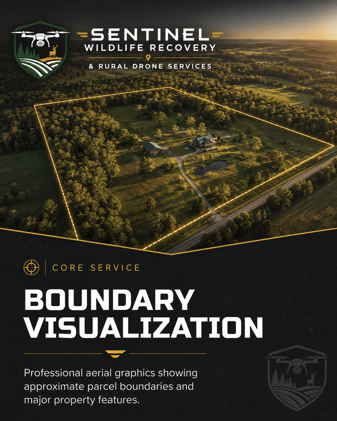
BOUNDARY VISUALIZATION
⦁
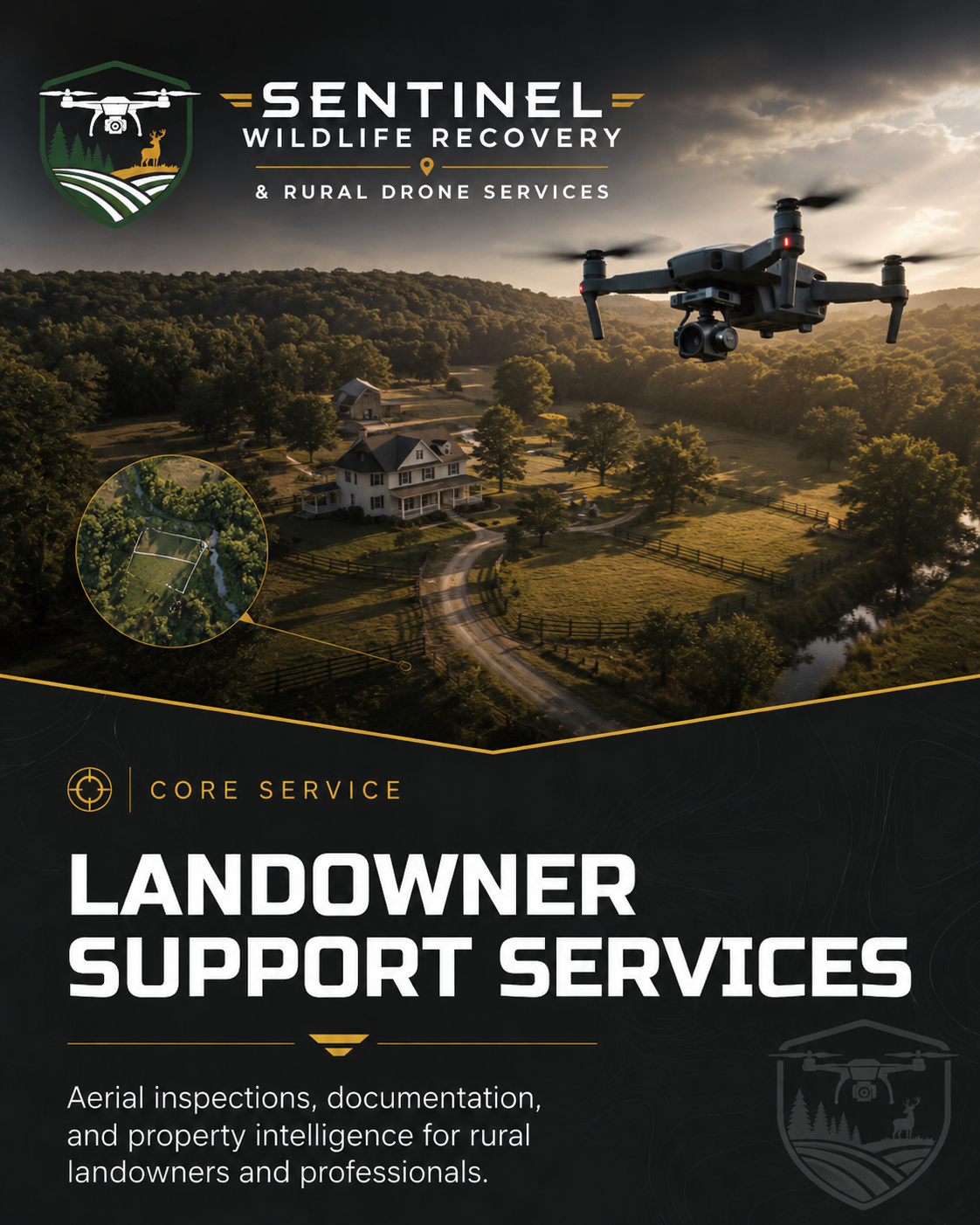
LANDOWNER SUPPORT SERVICES
⦁
HUNTING PROPERTY INTELLIGENCE ⦁ FUTURE DRONE ASSISTED GAME RECOVERY ⦁ LOST PET THERMAL SEARCH ⦁ LIVESTOCK LOCATION ⦁ PRE-MOWING WILDLIFE SCANS ⦁ RURAL PROPERTY MAPPING ⦁ BOUNDARY VISUALIZATION ⦁ LANDOWNER SUPPORT SERVICES ⦁

ADVANCED DRONE SERVICES FOR WILDLIFE & RURAL PROPERTY
Sentinel Wildlife Recovery & Rural Drone Services provides professional, FAA-compliant drone solutions designed specifically for rural properties, agricultural operations, animal-location needs, and land-based applications.
By combining advanced aerial technology, thermal imaging capabilities, practical rural land experience, and field-based operational support, we assist landowners, pet owners, farmers and livestock owners, hunters, real estate professionals, property buyers and sellers, law enforcement, and organizations with obtaining valuable information from the air.
Our services are focused on searching, locating, documenting, mapping, inspecting, and visually evaluating rural properties and animal-related situations—providing clients with timely aerial intelligence that can support informed, responsible decision-making.
WHAT WE DO
Professional drone solutions designed for rural properties, animal-location needs, agricultural operations, and land-based applications.
SEARCH
Locate animals, missing pets, or points of interest using advanced drone, thermal, and visual technology.
DOCUMENT
Capture high-resolution aerial imagery and video for records, insurance, and situational awareness.
MAP
Create approximate maps and visual layouts to support planning, management, and decision-making.

INSPECT
Conduct aerial inspections of land, structures, equipment, and rural infrastructure.
EVALUATE
Provide visual assessments to help clients understand conditions and potential concerns.

SUPPORT
Deliver timely aerial intelligence that helps landowners and professionals move forward with confidence.

When information matters, perspective from above makes the difference.
EXPERIENCE. TECHNOLOGY. RESULTS.
CORE SERVICES
Starting at $295
Starting at $295
Specialized drone services for animal search, agricultural support, rural property intelligence, and land visualization. Select a service to learn more.
FEATURED SERVICE
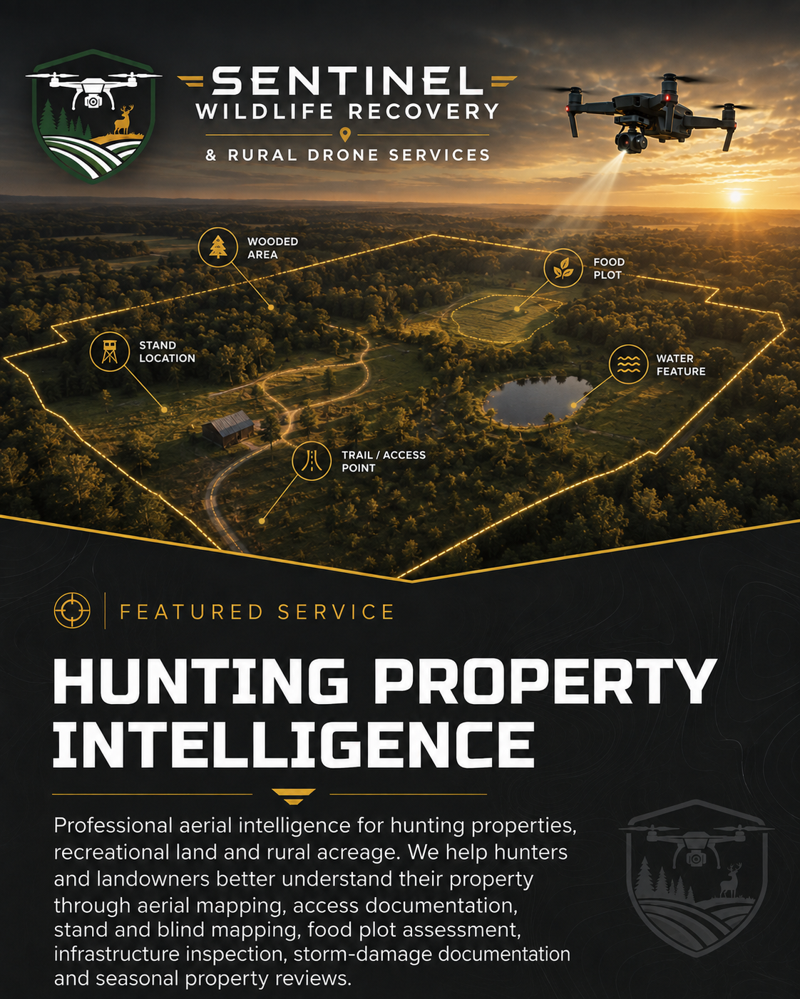
HUNTING PROPERTY INTELLIGENCE
Aerial Planning, Mapping & Land Management for Hunting Properties
Professional aerial intelligence for hunting properties, recreational land, hunting clubs and rural acreage. Sentinel helps hunters and landowners better understand and manage their property through aerial mapping, access documentation, stand and blind mapping, food plot assessment, trail and infrastructure review, storm-damage documentation and seasonal property evaluations.
From preseason preparation to postseason assessment, this service provides a broader view of the land you hunt—helping document important property features, access routes, improvements and changing conditions throughout the year.
PROPERTY-FOCUSED • YEAR-ROUND • FAA COMPLIANT
EXPLORE HUNTING PROPERTY INTELLIGENCE
Custom Quote
FEATURED SERVICE
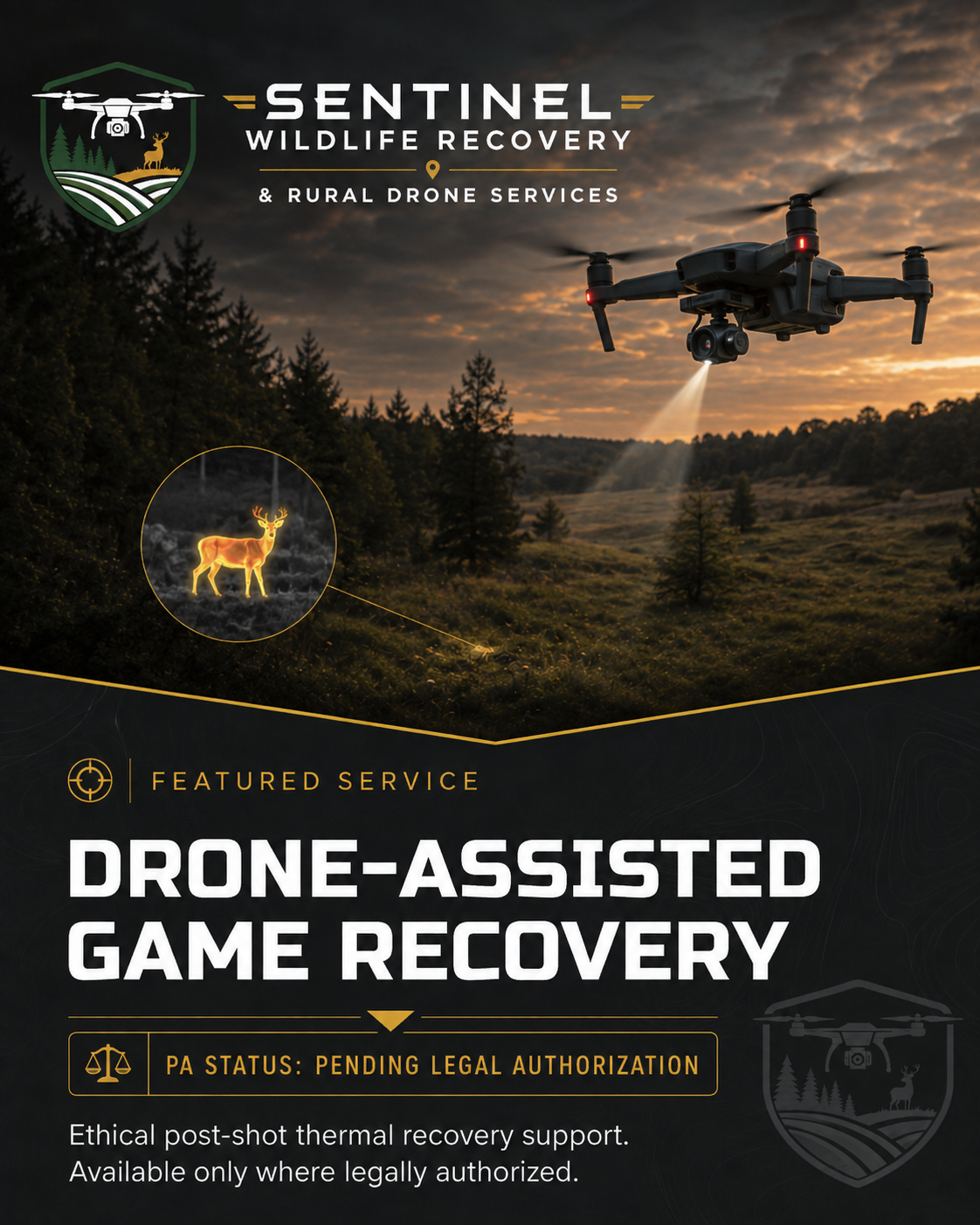
DRONE-ASSISTED GAME RECOVERY
Ethical Post-Shot Recovery Through Advanced Thermal Technology
Sentinel Wildlife Recovery is positioned to provide professional drone and thermal drone assistance for the lawful recovery of mortally wounded game in jurisdictions where drone-assisted recovery is permitted. Our approach is focused strictly on ethical post-shot recovery—not scouting, pursuing, harassing, or locating live game for hunting advantage.
PENNSYLVANIA STATUS
Proposed Service — Pending Legal Authorization
Pennsylvania currently does not authorize Sentinel to offer this service. We are actively monitoring legislation (SB 303) and regulatory developments and intend to offer professional recovery services if and when legally permitted in Pennsylvania.
Starting at $325
Starting at $350
Starting at $175
Custom Quote
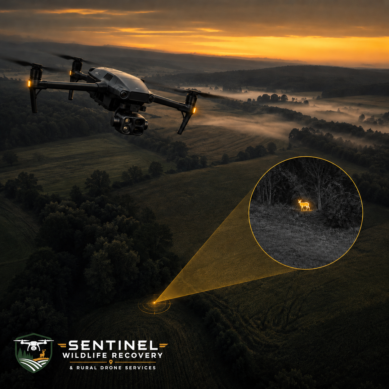
THE ADVANTAGE OF THERMAL DRONE SEARCH
See more. Cover more ground. Make better-informed decisions.
-
Thermal imaging can help identify animals and other heat sources that may be difficult to see from the ground.
-
Aerial search can evaluate fields, pastures, wooded edges, and large-acreage properties more efficiently than foot travel alone.
-
Drone operations can help limit unnecessary travel through steep, muddy, wooded, or otherwise challenging terrain.
-
Live aerial and thermal imagery can provide a broader perspective of the search area and help guide next steps.
A valuable search tool — not a guarantee.
Thermal effectiveness depends on temperature contrast, vegetation, terrain, weather, distance, and other field conditions.
PROFESSIONAL & FAA COMPLIANT OPERATIONS
FAA Part 107 certified remote pilots • Airspace reviewed • Remote ID compliant • Operations subject to weather, safety, property access, and applicable law.
Thermal drone search does not guarantee detection, location, capture, or recovery.
READY TO DISCUSS YOUR MISSION?
REQUEST DRONE SERVICES
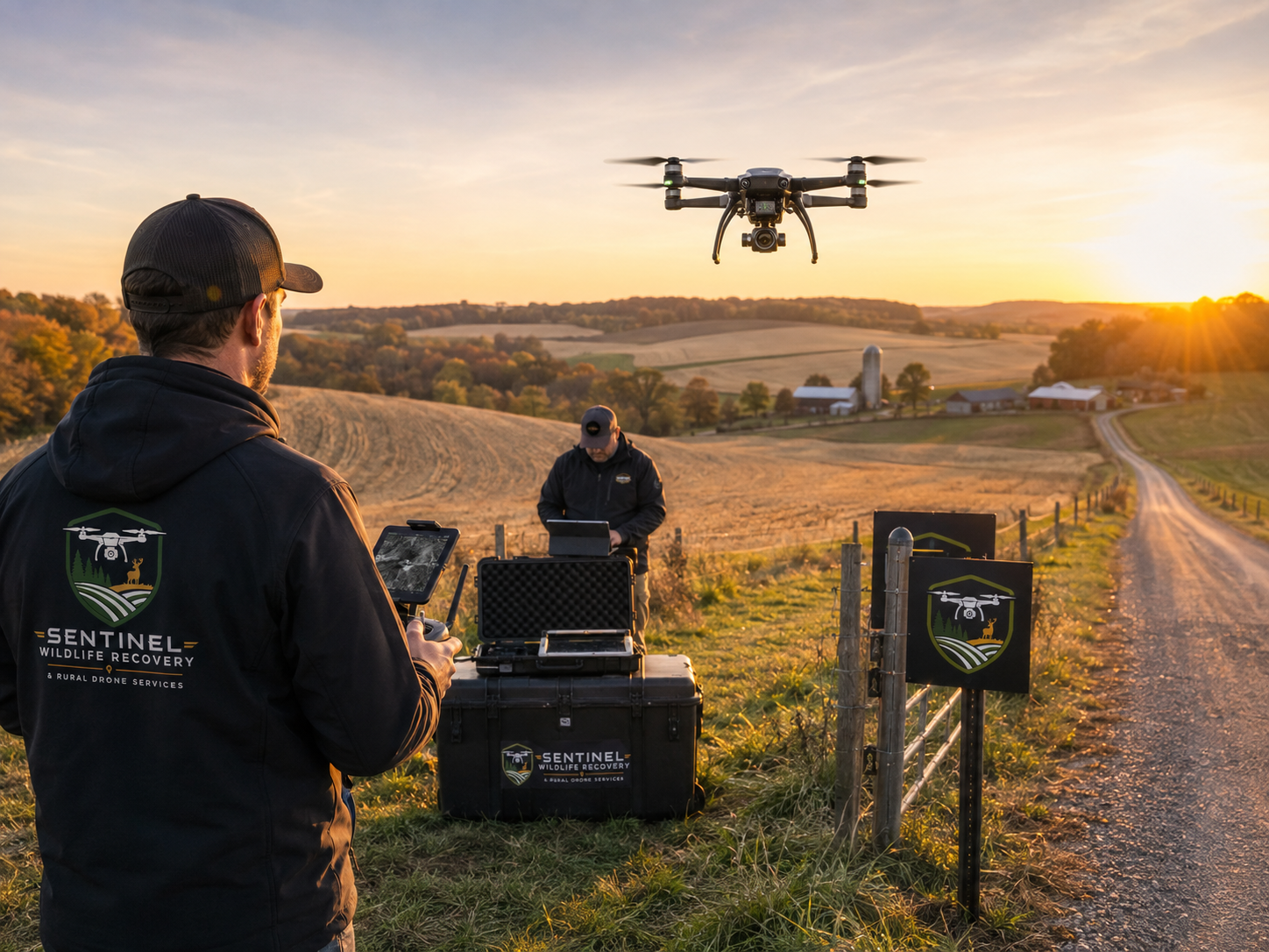
Whether you need help locating an animal, documenting rural property, evaluating acreage, supporting agricultural operations, or addressing another specialized aerial need, Sentinel provides professional drone solutions built around real-world conditions.
Our FAA-compliant operations combine advanced aerial technology, thermal capability, rural field experience, and practical mission planning to help you obtain the information you need safely and efficiently.
Tell us what you’re trying to accomplish, and we’ll help determine the right aerial solution for your situation.