

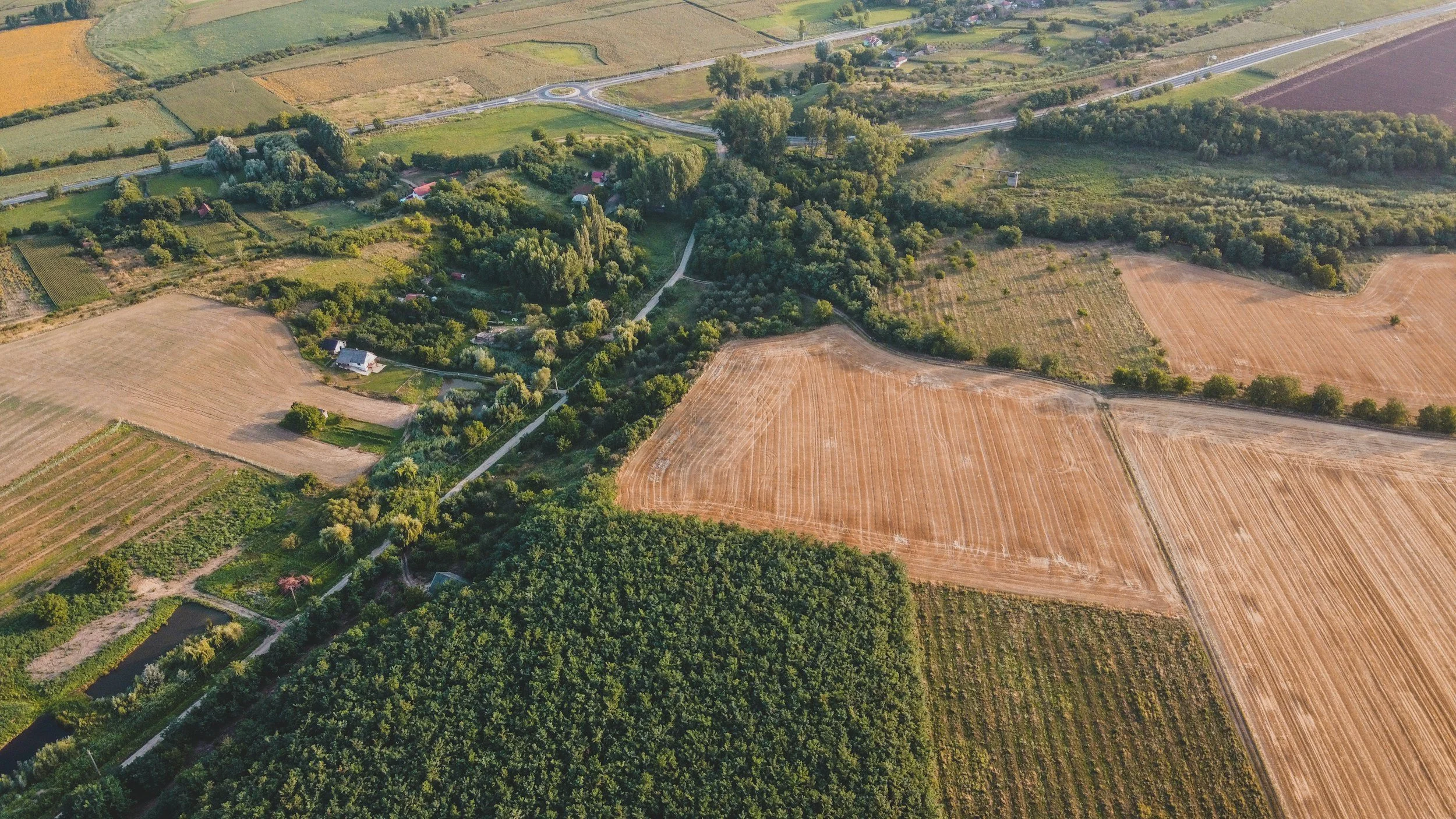
Rural Property Mapping
Sentinel Wildlife Recovery & Rural Drone Services provides aerial mapping and rural property documentation for farms, hunting land, recreational acreage, rural estates, timberland, and large-acreage properties.
RURAL PROPERTY MAPPING
⦁
RURAL PROPERTY MAPPING ⦁
Understand Your Land From Above
Rural properties can be difficult to fully understand from the ground. Aerial drone imagery helps owners, buyers, sellers, and land managers visualize access, terrain, fields, woods, water features, improvements, and land-use opportunities.
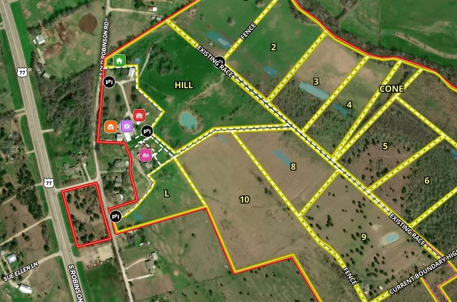
Mapping Services May Include
Aerial property overview imagery
Field and pasture documentation
Trail and access route visualization
Creek, pond, and water feature imagery
Wooded acreage overview
Farmstead and structure documentation
Seasonal property condition imagery
Hunting property layout visuals
Recreational land feature maps
Land listing support imagery
Best For
Farms
Hunting properties
Timberland
Recreational land
Rural residential acreage
Cabins and camps
Large parcels
Landowners preparing to sell
Buyers evaluating rural land
Real estate professionals marketing land

Landowner Intelligence Reports
We can provide aerial imagery and property notes organized into a practical report for landowners, buyers, sellers, or managers. Reports may include property visuals, access observations, land features, and service-specific documentation.
Not a Survey
Rural property mapping is not a legal boundary survey and should not be used as a replacement for a licensed surveyor, engineer, soil consultant, or other qualified professional.
READY TO DISCUSS YOUR MISSION?
REQUEST DRONE SERVICES
Whether you need help locating an animal, documenting rural property, evaluating acreage, supporting agricultural operations, or addressing another specialized aerial need, Sentinel provides professional drone solutions built around real-world conditions.
Our FAA-compliant operations combine advanced aerial technology, thermal capability, rural field experience, and practical mission planning to help you obtain the information you need safely and efficiently.
Tell us what you’re trying to accomplish, and we’ll help determine the right aerial solution for your situation.