

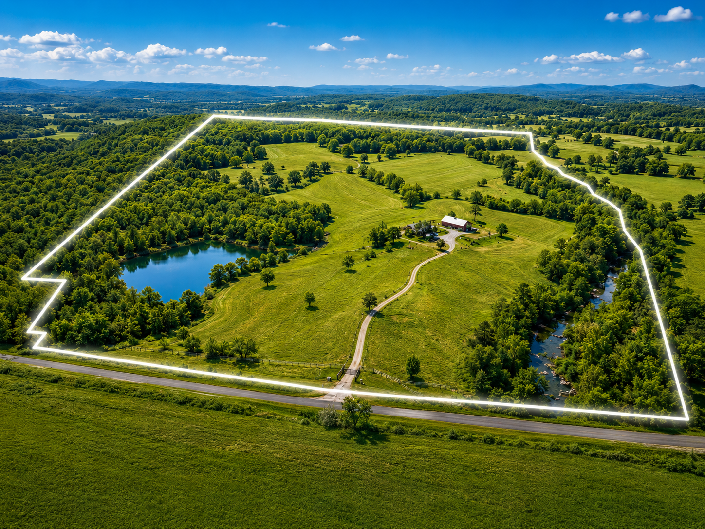
Boundary Visualization
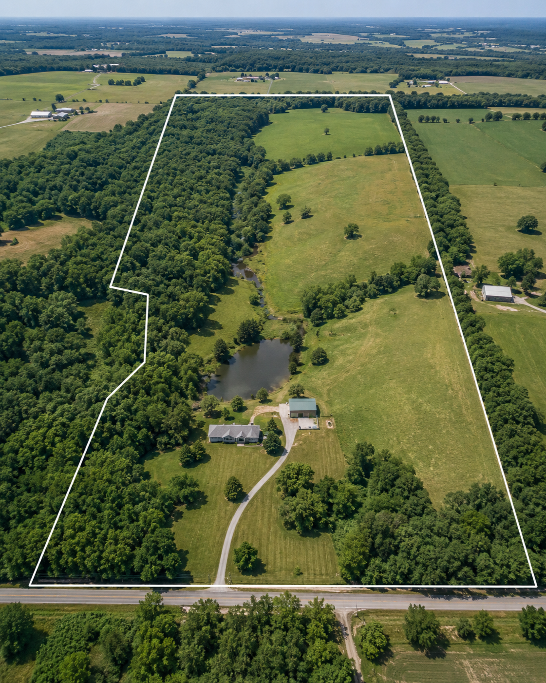
Boundary visualization helps landowners, buyers, sellers, and real estate professionals better understand the approximate layout of rural property from an aerial perspective.
BOUNDARY VISUALIZATION
⦁
BOUNDARY VISUALIZATION ⦁
Important Notice
Boundary visualization lines are approximate and are for illustrative purposes only. Boundary visualization is not a legal survey. It does not establish property lines, corners, legal boundaries, easements, rights-of-way, encroachments, setbacks, or ownership rights.
For legal boundary determinations, a licensed professional surveyor should be consulted.
What Boundary Visualization Can Do
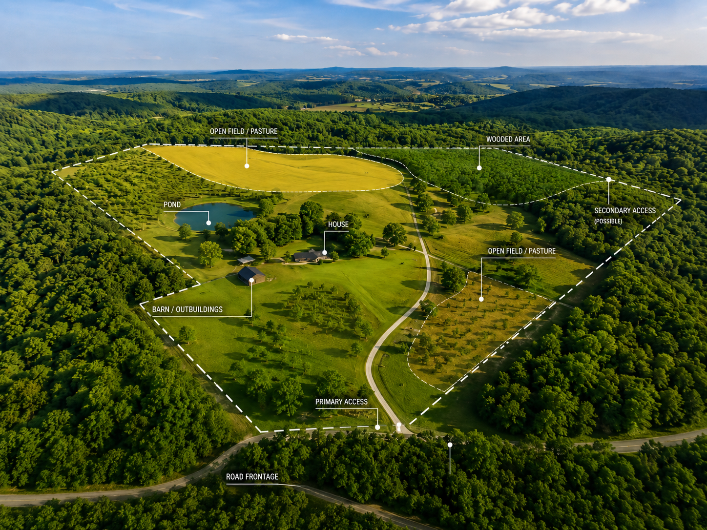
Boundary visualization may help illustrate:
Approximate parcel layout
Field and wooded areas
Road frontage
Access points
Trails and lanes
Water features
Improvement locations
General property orientation
Listing and marketing visuals
Landowner planning concepts
Best Uses
Boundary visualization is helpful for:
Rural property marketing
Land listing presentations
Buyer orientation
Seller preparation
Farm and acreage overview
Hunting/recreational property planning
Landowner discussions
Visual property reports
Data Sources
Boundary overlays may be based on publicly available parcel data, client-provided information, mapping references, or other non-survey sources. These sources may contain inaccuracies and should not be relied upon as legal boundary evidence.
Request Boundary Visualization
READY TO DISCUSS YOUR MISSION?
REQUEST DRONE SERVICES
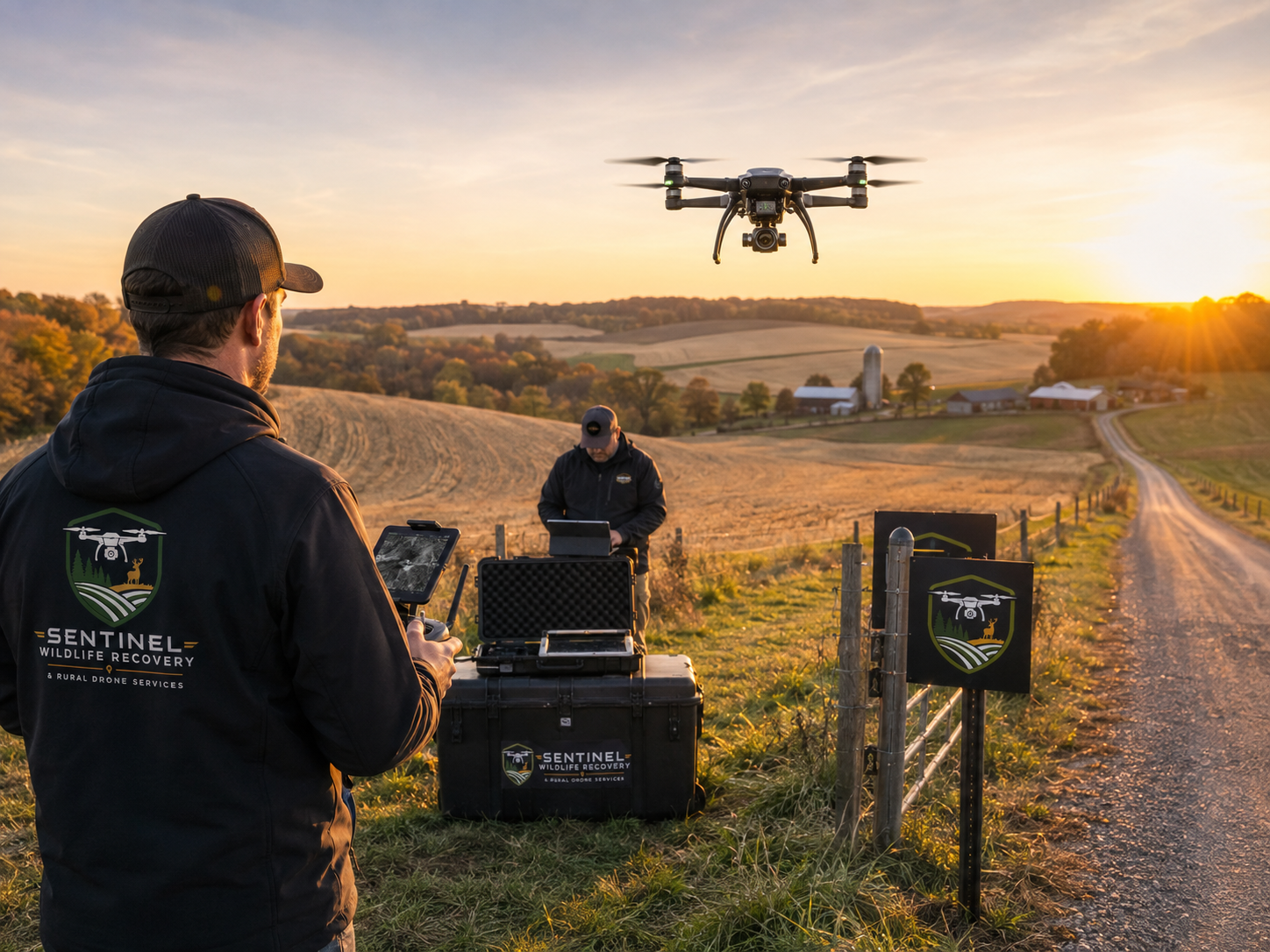
Whether you need help locating an animal, documenting rural property, evaluating acreage, supporting agricultural operations, or addressing another specialized aerial need, Sentinel provides professional drone solutions built around real-world conditions.
Our FAA-compliant operations combine advanced aerial technology, thermal capability, rural field experience, and practical mission planning to help you obtain the information you need safely and efficiently.
Tell us what you’re trying to accomplish, and we’ll help determine the right aerial solution for your situation.