

Boundary Visualization Disclaimer
Effective Date: 18 JUNE 2026
Sentinel Wildlife Recovery & Rural Drone Services is a registered fictitious name of Sentinel SkyWorks, LLC. This Boundary Visualization Disclaimer applies to all boundary visualization, parcel overlay, aerial mapping, property layout, rural land documentation, and related visual reference services.
By requesting, receiving, viewing, sharing, or using boundary visualization services or materials, you acknowledge and agree to the limitations described in this disclaimer.
Not a Legal Survey
Boundary visualization services are not legal surveys.
Any property lines, parcel overlays, boundary references, acreage references, access points, easements, road frontage, water features, structures, field lines, wooded areas, or other visual elements shown in our materials are provided for general visual reference only.
Boundary visualization does not establish or determine:
Legal property lines
Property corners
Acreage
Easements
Rights-of-way
Setbacks
Encroachments
Title matters
Ownership rights
Legal access
Subdivision rights
Zoning compliance
Building envelopes
Utility rights
Timber boundaries
Hunting boundaries
Any other legal property determination
For legal boundary determinations, clients should consult a licensed professional surveyor.
Approximate Visual Reference Only
Boundary visualization is intended to help clients better understand general property layout, land features, access areas, fields, wooded areas, water features, improvements, and approximate parcel orientation.
All boundary lines and overlays are approximate and should not be relied upon as legal evidence, survey-grade data, or final property-line confirmation.
Data Sources
Boundary visualization may be based on one or more available sources, including but not limited to:
Public parcel data
County GIS information
Tax maps
Client-provided documents
MLS or listing information
Deed references
Mapping software
Aerial imagery
Field observations
Third-party mapping tools
Other non-survey reference sources
These sources may contain errors, omissions, outdated information, inaccurate parcel lines, projection differences, or mismatches between aerial imagery and recorded property data.
No Guarantee of Accuracy
Sentinel Wildlife Recovery & Rural Drone Services does not guarantee the accuracy, completeness, reliability, or legal validity of boundary lines, parcel overlays, acreage references, or property feature placements.
Aerial imagery, public mapping data, and parcel overlays may shift, distort, or misalign due to mapping software, GPS limitations, imagery date, camera angle, terrain, vegetation, data source quality, or other technical factors.
Not for Legal, Construction, or Land-Use Decisions
Boundary visualization should not be used as the sole basis for:
Building or improvement placement
Fence installation
Timber harvesting
Hunting stand placement
Food plot placement
Excavation
Driveway construction
Septic or well placement
Utility installation
Easement decisions
Encroachment claims
Boundary disputes
Trespass claims
Zoning decisions
Subdivision planning
Land development
Closing, title, or settlement decisions
Clients should consult appropriate licensed professionals, including surveyors, attorneys, engineers, title professionals, zoning officials, and land-use consultants before making legal, construction, development, or ownership-related decisions.
Real Estate and Marketing Use
Boundary visualization may be useful for general real estate marketing, buyer orientation, seller preparation, rural property presentation, landowner planning, and visual communication.
However, all real estate-related boundary visuals should be accompanied by appropriate disclaimers stating that lines are approximate and not a substitute for a survey.
Real estate professionals, buyers, sellers, and landowners remain responsible for compliance with applicable advertising, disclosure, licensing, and property representation requirements.
Client Responsibility
Clients are responsible for reviewing all materials for apparent errors, providing relevant property information, and advising us of known boundary concerns, disputes, survey information, access issues, easements, or ownership questions.
Clients are responsible for obtaining professional survey, legal, title, zoning, engineering, or land-use advice where needed.
No Surveyor-Client Relationship
Boundary visualization services do not create a surveyor-client relationship and should not be interpreted as professional land surveying services.
Sentinel Wildlife Recovery & Rural Drone Services does not represent itself as a licensed surveying company unless expressly stated in writing and properly licensed.
Limitation of Use
Boundary visualization materials are for general informational and visual reference purposes only. They should not be recorded, submitted as official survey documents, used in legal proceedings as survey evidence, or relied upon to establish legal boundaries.
Updates to This Disclaimer
This Boundary Visualization Disclaimer may be updated from time to time. Updates will be posted on this page with a revised effective date.
Contact
Questions about this Boundary Visualization Disclaimer may be directed to:
Sentinel Wildlife Recovery & Rural Drone Services
A registered fictitious name of Sentinel SkyWorks, LLC
717-592-0212
admin@sentinelskyworks.com
PO Box 6, Lewisberry, PA 17339
READY TO DISCUSS YOUR MISSION?
REQUEST DRONE SERVICES
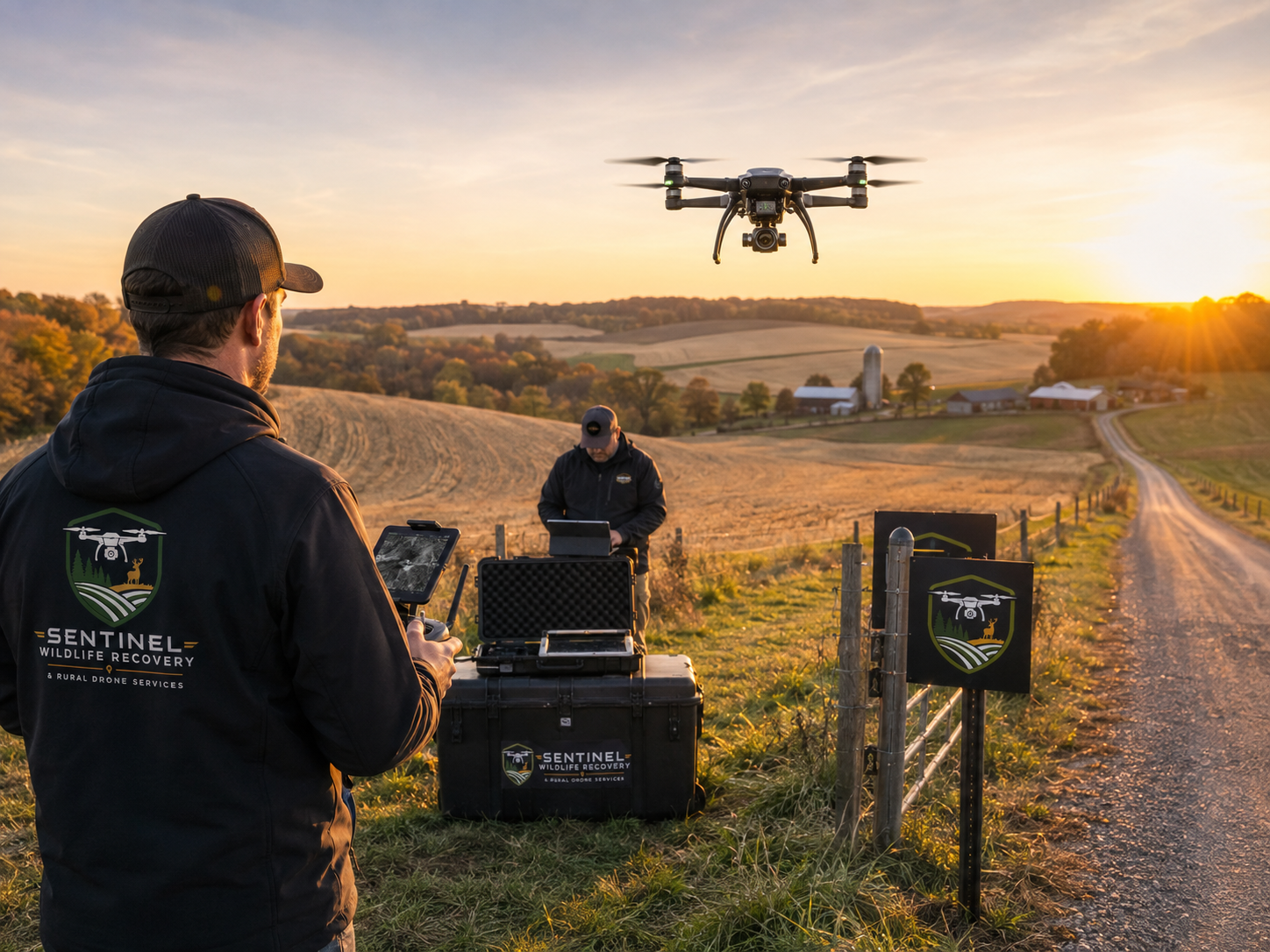
Whether you need help locating an animal, documenting rural property, evaluating acreage, supporting agricultural operations, or addressing another specialized aerial need, Sentinel provides professional drone solutions built around real-world conditions.
Our FAA-compliant operations combine advanced aerial technology, thermal capability, rural field experience, and practical mission planning to help you obtain the information you need safely and efficiently.
Tell us what you’re trying to accomplish, and we’ll help determine the right aerial solution for your situation.