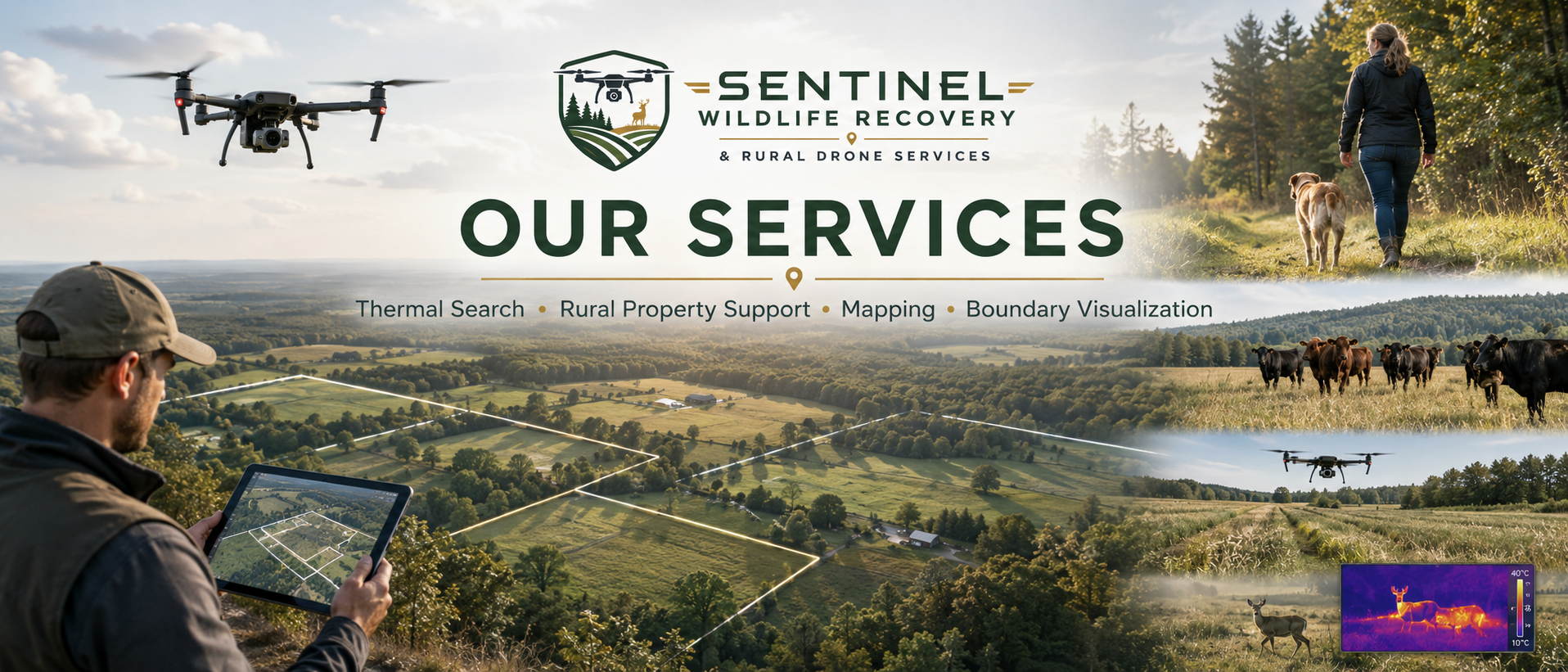
Aerial visual support to help owners, buyers, sellers, and land professionals better understand approximate property lines, access points, fields, woods, and land features.
Large Acreage / Complex Boundary Visualization
Best for land listings, rural property marketing, buyer orientation, and larger parcels.
Includes:
Multiple aerial visuals
Approximate boundary overlays
Key property feature callouts
Access/road frontage orientation
Digital visual report suitable for client review or marketing support
$1,000–$2,500+
Quoted based on acreage, parcel complexity, available data, travel, and deliverables
Disclaimer
Boundary visualization is not a legal survey and does not establish property lines, corners, easements, rights-of-way, setbacks, encroachments, acreage, or ownership rights. All boundary lines are approximate and for general visual reference only. A licensed professional surveyor should be consulted for legal boundary determinations.