

OUR SERVICE FOOTPRINT
Pennsylvania-based. Mid-Atlantic capable.
Sentinel Wildlife Recovery & Rural Drone Services supports a wide range of rural, agricultural, residential, recreational, public-safety, and land-based needs throughout Pennsylvania and surrounding areas by availability.
Our service area is based in Pennsylvania, with service available across South Central Pennsylvania and expanded coverage considered throughout Pennsylvania, Maryland, West Virginia, and surrounding Mid-Atlantic areas depending on location, pilot availability, weather, airspace, mission type, and legal requirements.
Our clients often include pet owners, farmers, landowners, hunters, real estate professionals, rural property buyers and sellers, law enforcement, public safety personnel, animal-related organizations, and other groups that need aerial imaging, rural property support, or thermal search assistance.
-
Sentinel Wildlife Recovery & Rural Drone Services is based in Pennsylvania with a primary service focus in South Central Pennsylvania.
This core area may include York, Adams, Cumberland, Dauphin, Lancaster, Lebanon, Perry, Franklin, Fulton, Juniata, Mifflin, Snyder, Union, Northumberland, Schuylkill, and surrounding counties by availability.
Services in this area may include lost pet thermal search, livestock location, pre-mowing wildlife scans, rural property mapping, boundary visualization, landowner support, and other drone-based rural services.
-
Expanded service may be available throughout Pennsylvania depending on location, pilot availability, weather, airspace, mission type, urgency, and legal requirements.
For time-sensitive services such as lost pet search or livestock location, response availability may depend on travel distance, current conditions, and whether the mission can be performed safely and legally.
-
Service may be available in Maryland by request and availability, especially for rural, agricultural, recreational, and land-based needs.
Maryland service may include rural property mapping, boundary visualization, landowner support, livestock location, lost pet thermal search, and aerial documentation where lawful, safe, and operationally feasible.
-
Service may be available in West Virginia by request and availability, with a focus on rural landowners, farms, hunting properties, recreational acreage, livestock owners, and land-based service needs.
West Virginia service may include rural property mapping, landowner support, boundary visualization, livestock location, lost pet search assistance, and other drone-based services where legally permitted.
-
Additional Mid-Atlantic coverage may be considered on a case-by-case basis, including surrounding areas of New York, New Jersey, Delaware, Virginia, Ohio, and Washington, D.C., depending on the requested service, travel distance, pilot availability, airspace restrictions, and legal requirements.
Not all services are available in all areas. Some services may require advance scheduling, special authorization, landowner permission, or additional travel fees.
-
Sentinel Wildlife Recovery & Rural Drone Services is building a qualified independent contractor pilot network to expand service availability across Pennsylvania, Maryland, West Virginia, and surrounding Mid-Atlantic areas.
Pilots must meet applicable FAA requirements, maintain proper aircraft registration and Remote ID compliance, carry appropriate insurance, and follow company safety, documentation, and service standards.
-
All services are subject to pilot availability, weather conditions, airspace restrictions, equipment capability, Remote ID requirements, landowner permission, safety limitations, mission type, and applicable federal, state, and local law.
Drone-assisted game recovery is not currently offered in Pennsylvania and will only be added if legally authorized.





Coverage shown is representative. Actual mission availability depends on location, pilot availability, airspace, weather, mission type, and applicable law.
SOUTH-CENTRAL PENNSYLVANIA
York • Adams • Cumberland • Dauphin • Lancaster • Lebanon • Perry • Franklin • Fulton • Juniata • Mifflin • Snyder • Union • Northumberland • Schuylkill
PENNSYLVANIA STATEWIDE
Expanded service may be available throughout Pennsylvania depending on mission requirements, travel, pilot availability, weather, airspace, and legal considerations.
MARYLAND
Professional rural property, mapping, animal-search, livestock, and aerial-support services may be available by request.
WEST VIRGINIA
Service may be available for rural landowners, farms, hunting properties, livestock owners, recreational acreage, and other land-based needs.
BEYOND PA • MD • WV
Select assignments may also be considered in surrounding Mid-Atlantic areas, including portions of New York, New Jersey, Delaware, Virginia, Ohio, and Washington, D.C., depending on travel distance, mission type, legal requirements, and pilot availability.
PILOT AVAILABILITY
What affects availability

WEATHER
NOTE:

AIRSPACE
TRAVEL DISTANCE

MISSION TYPE
Every assignment is evaluated individually for safety, operational feasibility, equipment capability, property access, and regulatory compliance.
LEGAL REQUIREMENTS
READY TO DISCUSS YOUR MISSION?
REQUEST DRONE SERVICES
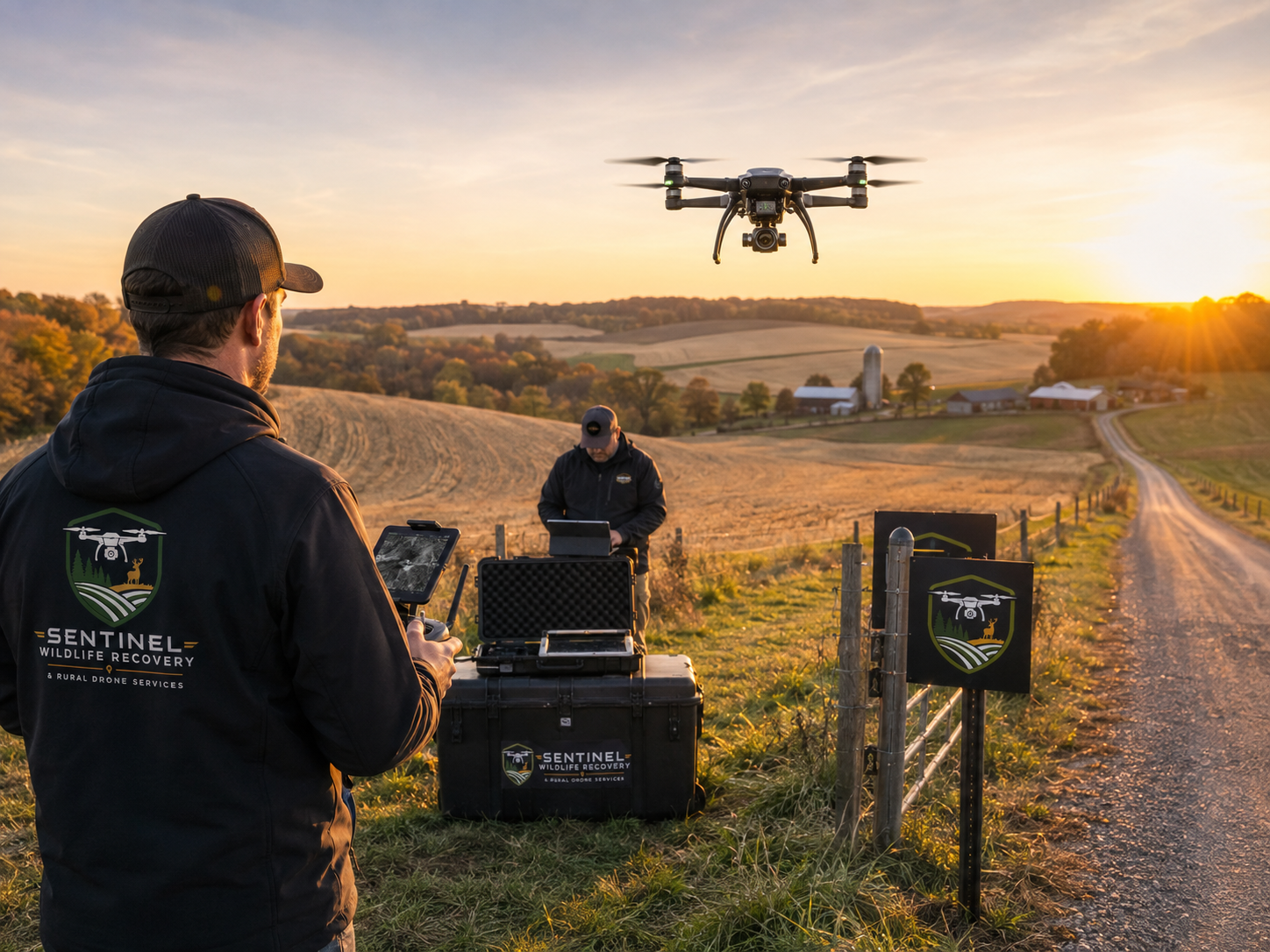
Whether you need help locating an animal, documenting rural property, evaluating acreage, supporting agricultural operations, or addressing another specialized aerial need, Sentinel provides professional drone solutions built around real-world conditions.
Our FAA-compliant operations combine advanced aerial technology, thermal capability, rural field experience, and practical mission planning to help you obtain the information you need safely and efficiently.
Tell us what you’re trying to accomplish, and we’ll help determine the right aerial solution for your situation.